HOMEISOMETRIC MAPSEA / PLANNING / 1.1 BOUNDARY DEMARCATION AND MAINTENANCE

1.1 BOUNDARY DEMARCATION AND MAINTENACE

1. Submit boundary survey plan (with RSO coordinate system) done by a licensed surveyor (registered surveyor licensed under Surveyor Ordinance, 1960) to the EPD in either soft copy (compulsory and in Shapefile format) or hard copy (optional) format before any physical work commences at the site.

1.2 Install marker buoys at location specified in the AEC/MD. Use marker buoy:

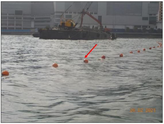
Plate 6: Example of buoys installed to mark the marine working area.

Figure 2: Illustration of sea boundary marking.